In May
2000, three University of Texas at Austin students, Marcy Davis, Amy Gilmer, and
Jenny Head, joined students and faculty from New Mexico Tech and the University
of Utah for a two-week field trip to study the geology of Per.
This was an excellent opportunity for students to see the unique mineral
deposits of Per, to experience Andean culture, and to meet geologic
professionals representing several mining and exploration companies.
The Geology Foundation provided scholarships to cover the international
airfare for the University of Texas at Austin students, and the Society of
Economic Geologists supported the trip through its field trip fund. The
professional geologists and their companies helped to support the per diem
expenses.
The
trip began in Lima with the first of two transects across the Andes.
The first transect began in the coastal batholith at Lima at sea level
and continued through the fold and thrust belt at Yauli Yacu (4816 m), then
descended to San Ramon (900 m) on the edge of the Amazon basin.
Crossing the entire Cordillera was a dramatic transition to experience
not only geologically, but also in terms of the vegetation and culture.
The
first mine visit was to the San Vicente zinc mine in the eastern Amazon owned
and run by SIMSA. San Vicente is
the 12th largest mine in Per with 1999 production of 940,000 tonnes
of ore averaging 8.5% Zn. The San
Vicente ore is distinctly banded within Jurassic carbonates and is similar to
Mississippi Valley-type lead-zinc ores that are believed to result from
metal-bearing basinal brines. The
group toured both the underground mine and the mill.
The La Oroya custom smelter operated by Doe Run Per provided an
opportunity to see how metals were extracted from their ore.
The La Oroya smelter produces 20 products from the polymetallic ores
mined in central Per.
The Yauli Yacu mine was the highest mine toured on the trip at an
elevation of 3700 m (12,135 ft). This
area, formerly known as the Casapalca district, contains complex Zn-Cu-Pb-Ag
ores in veins and in replacement zones in Cretaceous limestones and
conglomerates. The Yauli Yacu mine
extends laterally about 4 km and covers a vertical extent of 2 km.
The tour group was transported underground by train and then via an
interior shaft to a depth of approximately 1 km below the surface.
The group also visited several volcanic-hosted orebodies that occur
as roof pendants in the Coastal batholith about 50 km east of Lima. Initially
these deposits were mined for barite, but today Perbar is mining zinc-bearing
ore. The underground workings of the Cecilia Norte had a projected production of
540,000 tonnes for 2000. The
enigmatic orebodies of the Raul-Condestable district occur about 100 km south of
Lima. The district is primarily
known for its copper ore, but also produces some gold and silver ore as well. On
the return trip, the group visited the pre-Incan ruins at Pachacamac about 40 km
southeast of Lima. This area was inhabited before the time of the Incas along
one of the few irrigable valleys of the coastal desert.
To
save some travel time, the group flew to the city of Arequipa in southern Per.
Arequipa, the second largest city in Per, served as the base for the
second Andean transect. Arequipa is
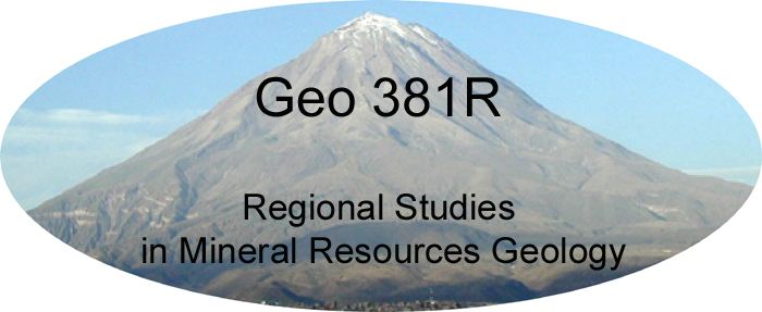
surrounded by mountains, including the spectacular volcano, El Misti, whose
summit at 5822 m towers over the suburbs, offering an impromptu tutorial in
volcanic hazards. El Misti has been
active many times since historic records began, including a lava dome in the
1950s and current fumarolic activity. The
group traveled from Arequipa to Moquegua, crossing over the Incapuquio fault
zone, a major structure that is thought to be the extension of the Falla de
Domeyko along which the major copper deposits are localized in northern Chile.
Moquegua and surrounding region are known for the production of wines and pisco
(the typical and national drink of Per).
The focus of the southern Per portion of the trip was the Tertiary intrusion-hosted porphyry copper deposits, the continuation of the worlds largest copper belt in northern Chile. All are huge open pits producing copper to satisfy the global appetite for this important industrial metal, particularly for electrical transmission. Weathering-related processes have produced large volumes of low-grade copper concentrations that are suitable for bulk mining and processing. Reserves of the Southern Per Copper Co. at the Cuajone porphyry copper deposit are estimated to be 1.24 billion tonnes at 0.64 % Cu. The Cuajone deposit has experienced limited leaching and enrichment, perhaps because of interruption of weathering by the eruption of the Huaylias tuffs that blanket the area.
The Toquepala porphyry copper deposit about 50 km south of Cuajone
has a much
more extensive enrichment zone, perhaps because the Huaylias tuffs are absent in
this area. Tourmaline breccias and
anhydrite veins are common at Toquepala. Reserves
are estimated to be 700 Mt of 0.74 % Cu with an additional 1.1 Gt of leachable
ore at 0.20% Cu. The Cerro Verde
deposit owned by Phelps Dodge is located 30 km south of Arequipa, where the
highest copper concentrations occur in the potassic-altered core of the
intrusion.
The trip to Per was an amazing adventure and an experience not to
be forgotten. Everyone
learned a great deal about the mineral deposits and culture of Per.
Modified from story by Amy Gilmer in the 2001 DGS Newsletter
 |
||
|
|| Home || Introduction || Syllabus || Spring '09 trip description || Canada Travel || Sources || Related Sites || Chile 1999 || Peru 2000 || Spain - Portugal 2001 || Western Australia 2003 | |
||