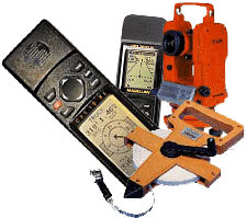
| Lab 8: GPS Surveying |
|
I. Lab Material - Spring, 2003
- TheLab 8 write-up, assignment and
questions. This is the same write-up that is in your lab
manual.
- GPS Data sets and instructions for downloads.
II. Selected Internet Resources
- The
web
version of my GPS lectures (best viewed with MS Explorer).
- Peter Dana's GPS overview, a must read. See also his pages on geodetic datums and coordinate systems.
- "Why
GPS?", a simple, complete, nicely illustrated explanation of GPS, from Trimble
Navigation.
- Joe and Jack's
GPS information
- consumer-oriented pages covering a wide range of topics, including equipment reviews,
software, maps, datums and more.
- NOAA's National Geodetic
Survey coordinates a network of continuously operating reference stations (CORS) that provide GPS measurements
in support of 3-D positioning activities throughout the US and its territories.
- In Texas, the Department of Transportation posts daily regional
reference station data
for all major metropolitan areas for use in DGPS post-processing.
- US Coast Guard, real-time DGPS coverage is available along navigable waterways, coastal regions, and some inland areas via signals broadcast from reference station beacons.
helper@mail.utexas.edu
Geological Sciences
U. Texas at Austin