![[Colorado river before relative sea level drop]](LabImages/mtbonnl1.jpg)
![[Downcutting of Colorado River after relative sea level drop]](LabImages/mtbonnl2.jpg)
Click here to download Mt. Bonnell / Shoal Creek Field trip text (Word 6.0 format)
|
|
|
|
|
|
|
|
|
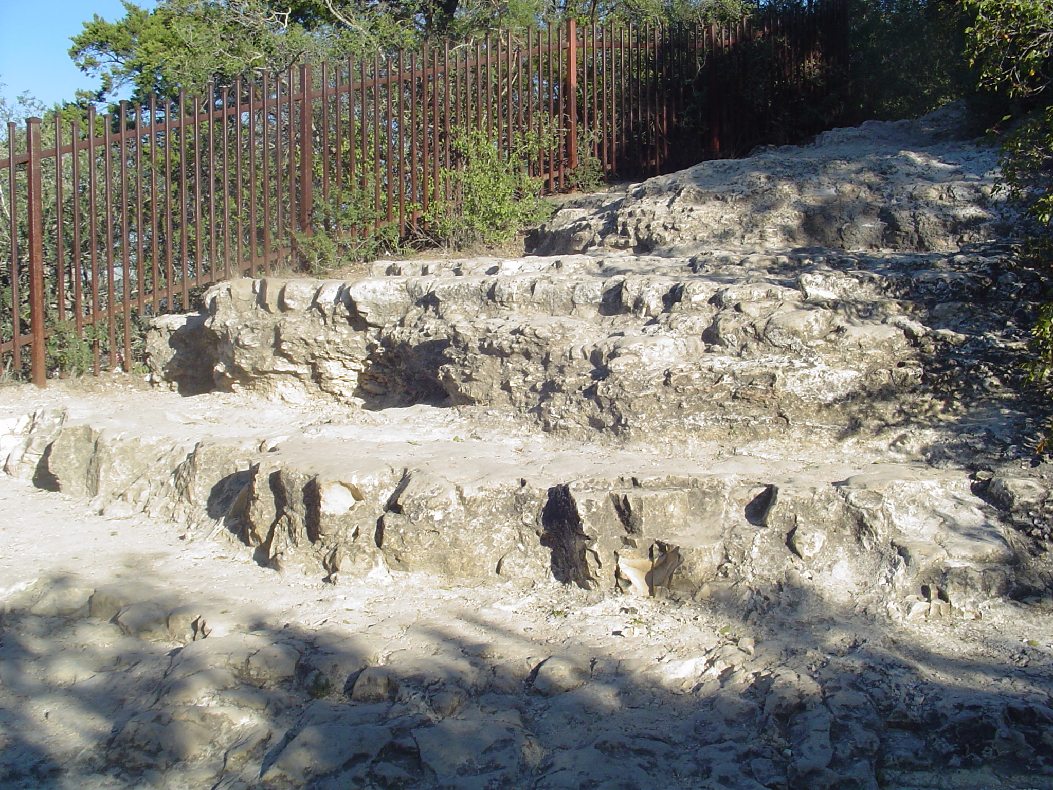
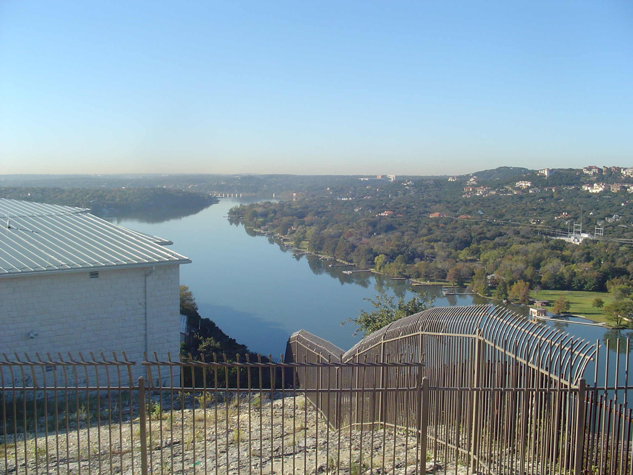
| Stair-step topography in Glen Rose Limestone at Mt. Bonnell | Colorado River (looking south across the fault) at Mt. Bonnell |
![[Deposition of Shale]](LabImages/shoalcr1.jpg) |
|
![[Deposition of Limestone]](LabImages/shoalcr2.jpg) |
|
![[Regional Uplift above sea level]](LabImages/shoalcr3.jpg) |
|
![[Normal Faulting]](LabImages/shoalcr4.jpg) |
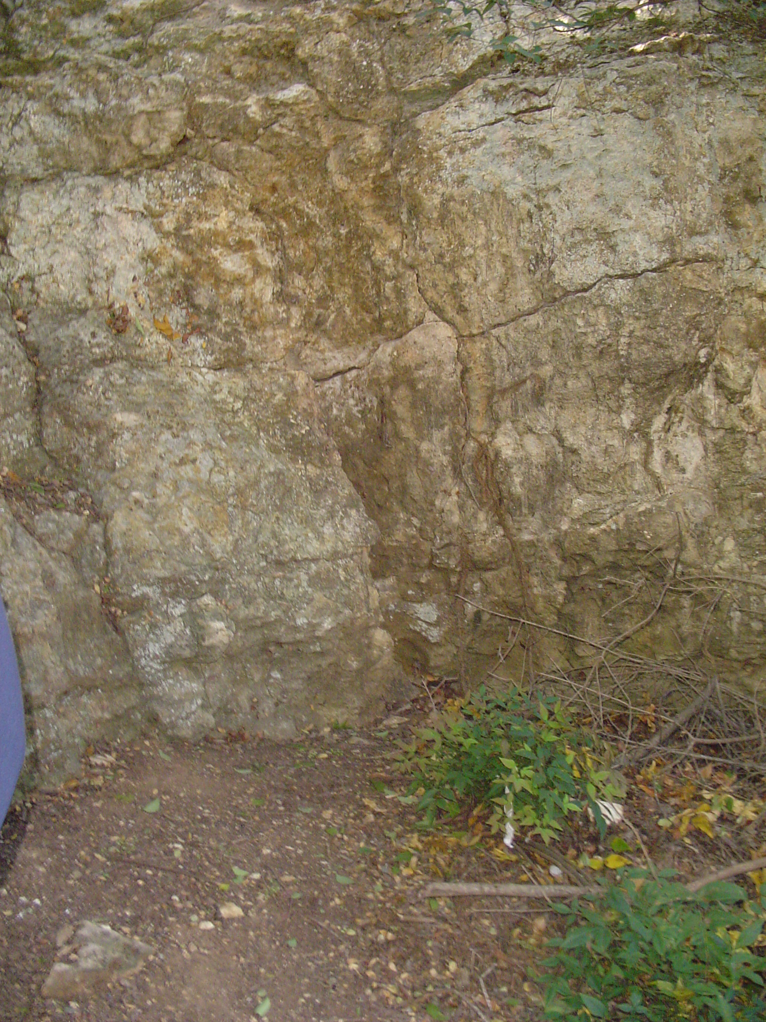 |
| Fault gouge in Buda Limestone at Shoal Creek fault | |
![[Colorado river system bevels topography]](LabImages/shoalcr5.jpg) |
|
![[Sea level drops (or renewed regional uplift)]](LabImages/shoalcr6.jpg) |
 |
| Slickensides on fault plane in Buda Limestone | |
![[Downcutting of Modern Shoal Creek channel]](LabImages/shoalcr7.jpg) |