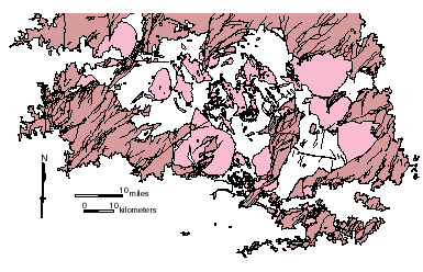
Field Trip 5: Mapping Paleozoic Rocks, Llano Uplift


I. Objectives

  • Make a geologic map of Pennsylvanian and Quaternary units on a small ranch east of Marble Falls.
  • Write concise unit descriptions of each of the map units.

II. When

  • April 14 OR April 15 (Dr. Helper);
    April 22 (Dr. Marrett)
  • see the trip rosters on Blackboard

We depart at 8:00 AM from the east basement door and will be back on campus by about 6:15.

III. Bring

  • Compass, hand lens, hammer
  • Clipboard, field book
  • Ink pens (2), colored pencils (6 minimum), eraser, protractor, mech. pencil
  • Lunch, water, rain coat


Paleozoic rxs. (brown), Llano uplift
Paleozoic Rocks (brown), Precambrian plutons
(pink) and Pennsylvanian faults in the Llano uplift.

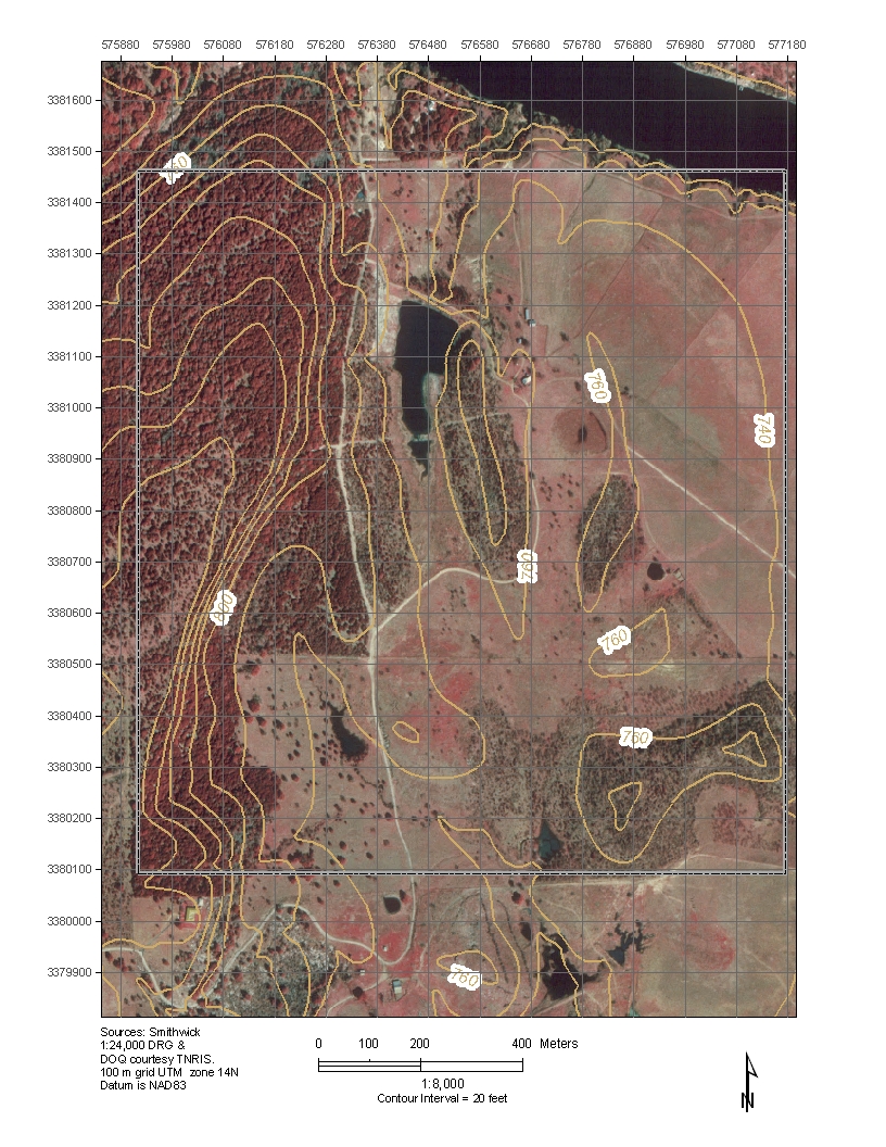
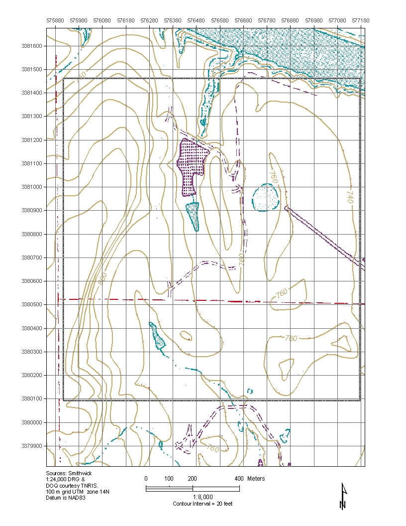
IV. Background Material

  • Get project info.  Project Description
  • Get project info.  Geologic Map of the Marble Falls area
  • Get topo. map (340k)  Simplified Geologic Map, Austin - Llano Area
  • Project area maps; DOQ and DRG

Department of Geological Sciences

Comments and questions to helper@mail.utexas.edu
Jackson School of Geosciences Last updated January 19, 2012